


14,6 km | 18,6 km-effort


Utilisateur


Application GPS de randonnée GRATUITE
 SityTrail
IGN / Instituts géographiques
SityTrail World
Le monde est à vous
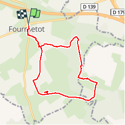
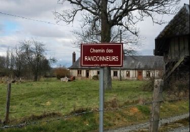
Randonnée Marche de 8,3 km à découvrir à Normandie, Eure, Le Perrey. Cette randonnée est proposée par MichelRando7656.
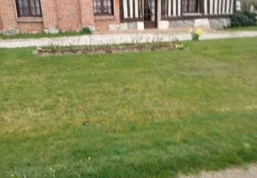
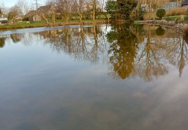
Chemins de terre bocagers. Chemins forestiers, une montée significative fans la forêt, une autre plus douce. Une super descente dans un chemin creux.
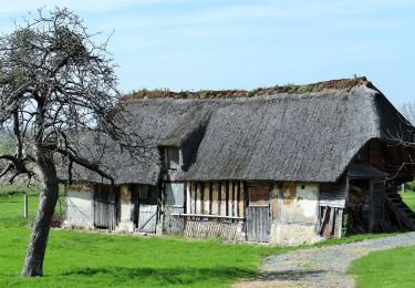
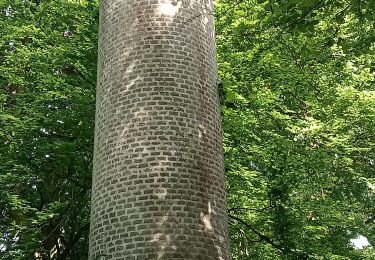
Très peu fe routes goudronnées sauf pour la traversée de 2 villages. Belles maisons arbres superbes.

Marche
A pied
Marche
Marche
Marche
Marche

Marche
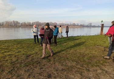
Marche